Can Millimeter-Wave Radar Measure Sediment-Laden Flow? A Practical Guide to River Velocity Monitoring
Can a non-contact millimeter-wave radar monitor velocity in muddy rivers, drainage channels, and sediment-laden flood flows? Learn the measurement principle, installation conditions, validation steps, and limitations.
Can Millimeter-Wave Radar Measure Sediment-Laden Flow? A Practical Guide to River Velocity Monitoring
Muddy water is normal in many monitoring projects. Mountain rivers carry sediment after rainfall, construction drainage can contain suspended solids, and irrigation channels may transport silt, vegetation, and debris. That leads to a practical question for project teams: can millimeter-wave radar measure sediment-laden flow?
In many cases, a millimeter-wave radar designed for surface-velocity monitoring can be used on sediment-laden flow. The device does not need to see through the water column or identify individual grains of sediment. It observes radar returns from the moving water surface and near-surface features, then derives velocity information from the Doppler response. Water turbidity alone is therefore not the sole determinant of whether the measurement is usable.
That answer needs an important qualification. Sediment-laden flow often arrives with fast stage changes, turbulence, wind, foam, floating debris, changing channel geometry, and severe weather. A radar installation should be treated as an engineered monitoring point—not as a sensor that can be mounted at any location without validation. Site selection, mounting geometry, complementary data, and quality control determine whether the resulting data supports a useful operational decision.
What does radar measure in a muddy river?
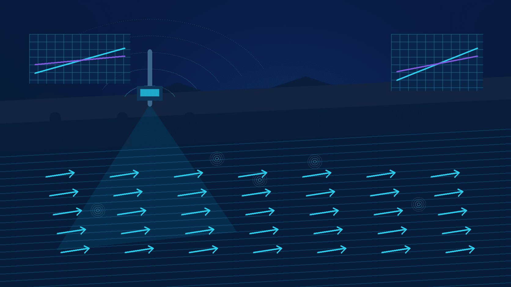
A non-contact radar velocity meter is commonly mounted above the water on a bridge, bank-side pole, channel support, or other stable structure. It transmits electromagnetic energy toward a selected area of the surface and receives reflected signals. Motion in the observed surface produces a Doppler shift that can be processed into a surface-velocity measurement.
Because the measuring path is primarily through air to the water surface, suspended sediment does not affect the instrument in the same way that it can foul a submerged probe or obscure an optical sensor. The more relevant question is whether the surface provides a consistent, observable moving target.
Fine sediment may have little direct effect on that target. However, a high-energy sediment event can change the surface itself: standing waves, turbulence, entrained air, and foam can broaden the velocity distribution. Logs, litter, or branches may create strong temporary reflections. Bed scour or deposition can change the relationship between stage and discharge. These are not reasons to dismiss radar; they are reasons to design the station around the hydraulic reality of the site.
Conditions to assess before deployment
| Site condition | Why it matters | Practical response | | --- | --- | --- | | Continuous water surface | Very shallow, broken, or heavily foamed surfaces can weaken useful returns | Select a reach that remains wetted across expected operating stages | | Floating debris | Debris can create short-lived, nonrepresentative velocity values | Avoid accumulation zones and retain data-quality indicators | | Turbulence and surge | Surface speed can vary substantially across the observation area | Aim at a stable main-flow region and evaluate trends, not isolated readings | | Channel scour and deposition | The rating curve and cross-section can change after floods | Re-survey the section and review discharge calculations after major events | | Mount vibration | Wind, traffic, or loose brackets can change the pointing geometry | Use a rigid mount and inspect alignment and fasteners | | Power and communications | Flood events are when continuity matters most | Use sealed cabling, grounding/lightning protection, and appropriate backup or local buffering |
Choose the observation area before choosing the sensor position
The best mounting point is not automatically the highest or closest structure. First identify the portion of the channel where flow direction is clear and the main current is reasonably representative. Then verify that the radar can view that area without persistent obstruction from handrails, bridge elements, gates, dense vegetation, or channel walls.
A bridge can offer a safe non-contact location, but its structural members must remain outside the intended measurement footprint. On a narrow engineered channel, a beam that includes both water and a wall may produce avoidable interference. On a wide river, the main-flow path can move with stage, so a desk review of low-water imagery alone is not enough. Site photographs and observations should cover normal water level, elevated flow, and—where safe—post-rain conditions.
Installation height, tilt, target distance, and the size of the observed area must be confirmed for the specific device and station. For projects using an AR-FV100-type surface velocity meter, published selection information may include a 0.5–30 m distance range, a 0–20 m/s velocity range, and a typical stated accuracy of ±0.2 m/s. These figures are selection references rather than a substitute for site validation: usable performance depends on surface conditions, viewing geometry, configuration, and field comparison.
Allow for high water when setting the mounting level and angle. A sensor positioned only for low flow may lose the preferred observation area when stage rises. Conversely, an installation that is too exposed can be vulnerable to splashing, debris impact, or physical access issues. Mark expected normal, warning, and high-water elevations on the section drawing and check the radar’s line of sight at each condition.
Can radar velocity be used to calculate discharge?
Radar provides surface velocity or velocity information related to the observed surface. Discharge calculation usually requires more: water level, cross-section geometry, and an accepted relationship between surface velocity and mean channel velocity. In sediment-laden rivers, scour and deposition can make a previously established rating relationship less reliable over time.
For that reason, it is risky to insert a single instantaneous radar reading into a fixed formula and label the result as a permanently accurate discharge value. A more defensible workflow is to combine radar velocity with water level, surveyed cross-section information, and periodic checks against an appropriate reference method. The monitoring platform should preserve timestamps, communications status, quality indicators, and raw or traceable records so unusual events can be investigated rather than silently averaged away.
This combined approach is especially useful during flood response. A sudden rise in surface velocity together with rising stage and rainfall may support an early warning decision. After the event, the same records can help teams determine whether apparent changes were hydraulic behavior, sensor-view changes, debris interference, or a revised channel condition.
Why non-contact monitoring is valuable in high-sediment water
Submerged instruments in fast, abrasive, debris-filled water may face sediment accumulation, impact, corrosion, or difficult maintenance. Staff may also be unable to approach a channel safely during a storm or flood. A millimeter-wave radar remains above the water, reducing direct exposure to sediment scour and debris entanglement while allowing remote data collection.
Non-contact does not mean maintenance-free. Mount integrity, enclosure sealing, cable glands, surge protection, antenna view, power quality, and communications all belong in the maintenance plan. The advantage is that many of these checks can be performed from a safe access point, while the sensing element does not need to remain immersed in the flow.
This makes radar surface-velocity monitoring a practical option for flash-flood warning stations, urban drainage channels, construction diversion works, and irrigation infrastructure where continuous observations are more valuable than occasional manual readings.
A field checklist for sediment-laden-flow projects
Before commissioning, confirm the following:
- Measurement objective: Is the station intended for velocity trend monitoring, alarm support, or discharge estimation? The objective sets the validation depth.
- Hydraulic behavior: How do stage, flow direction, main current, debris, and floating material change during a storm?
- Mounting path: Is there a rigid support with a clear radar view across the required water-level range?
- Complementary data: Will water level, rainfall, video, or manual check data be available to interpret velocity values?
- Data governance: Does the platform record quality flags, outages, configuration changes, and abnormal-event notes?
- Post-flood review: Is there a process for inspecting alignment and checking whether the section or rating relationship has changed?
Frequently asked questions
Does more sediment always make radar readings less accurate?
No. Turbidity is only one part of the scene and is not necessarily the primary influence on a surface radar measurement. Surface texture, turbulence, beam geometry, debris, rainfall, and the chosen observation area can matter more. Validate the station using field evidence instead of judging suitability from water appearance alone.
What should we do when a branch or floating object passes through the beam?
Keep traceable source data and quality information, then apply event-aware screening based on continuity and supporting stage or rainfall data. Do not indiscriminately smooth away all high-flow changes; a real flood acceleration can be operationally important. Repeated or prolonged anomalies should trigger a site inspection.
Is a velocity meter alone enough for a sediment-laden river?
For many monitoring objectives, velocity is more informative when interpreted alongside water level. If the project estimates discharge, it also needs channel-section information and suitable calibration or verification. A combined station is more resilient to changing sediment and hydraulic conditions than a single uncontextualized number.
Conclusion
Millimeter-wave radar can support non-contact monitoring of sediment-laden flow, provided the site is engineered for the measurement. Focus on a representative main-flow area, maintain a stable and unobstructed installation, pair velocity with stage and other context, and preserve a clear validation and anomaly-review process. With those controls in place, radar data can contribute practical, safer insight for warning, operations, and long-term river management.